Services Overview
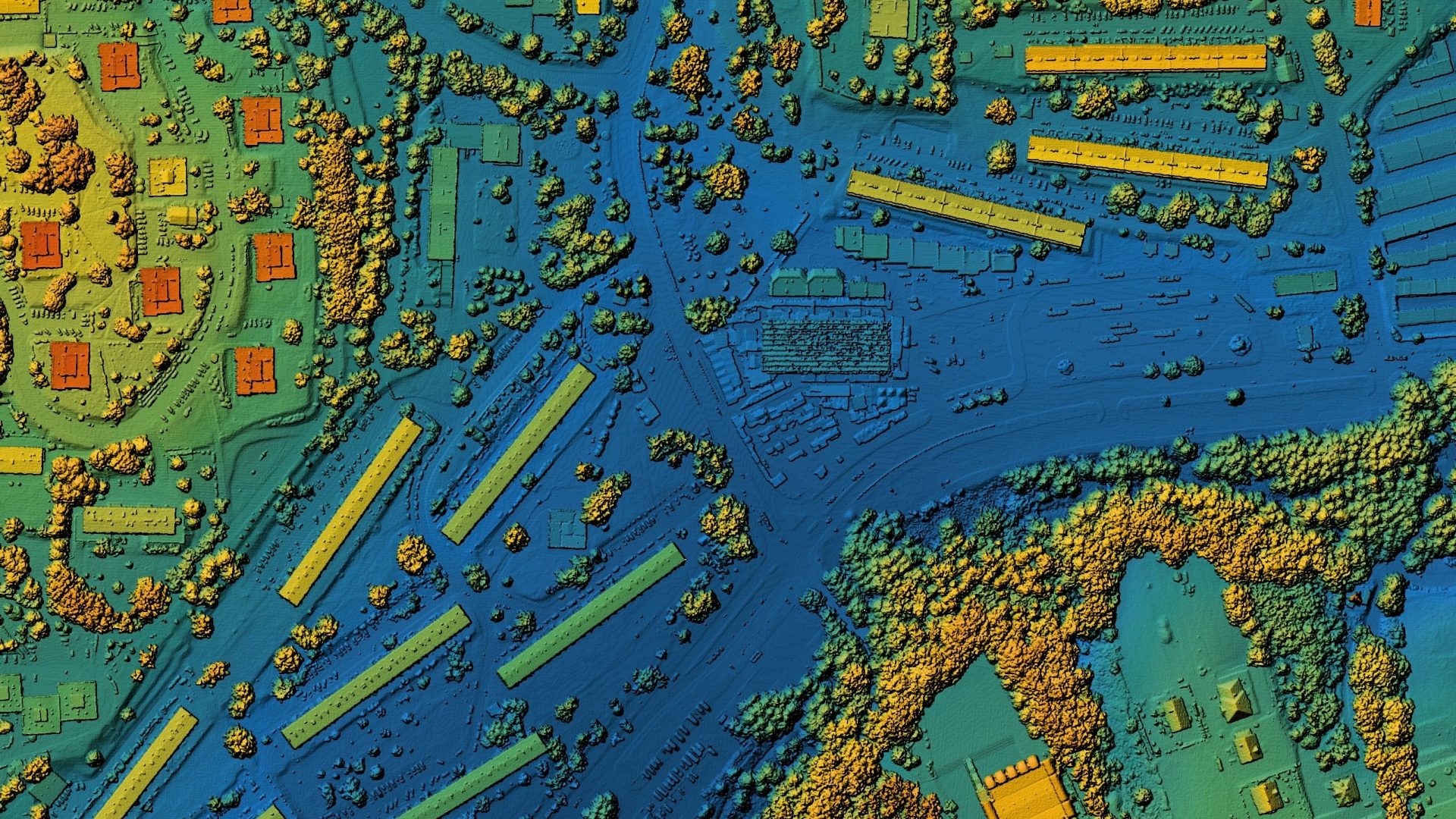
We provide advanced machine learning models to perform in-depth segmentation and analysis of satellite imagery, generating actionable insights for environmental monitoring and decision-making.
Data Acquisition and User Input
Comprehensive Backend Processing
Insightful Analysis and Reporting
About Our Team