About Us
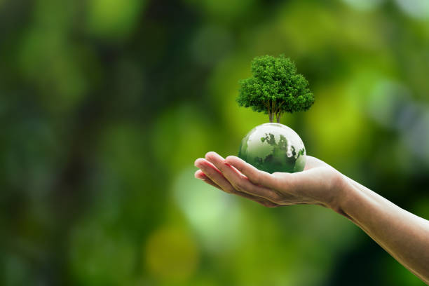
We Use Technology to Tackle Environmental Challenges
We are a team of passionate students dedicated to using technology and data science to tackle environmental challenges. Through ReLeaf, our mission is to provide accurate deforestation and reforestation analysis using AI-powered mapping. By combining machine learning, satellite imagery, and user-driven insights, we aim to make environmental monitoring more accessible, actionable, and impactful.
AI-Powered Mapping
Real-Time Data
User-Driven Insights
Empowering Change
Land Composition Analysis
Deforested 30%
Forested 50%
Other 20%
ReLeaf provides detailed land segmentation and analysis, offering insights into deforested, forested, and other land types. Our technology helps track changes and supports sustainable land management.